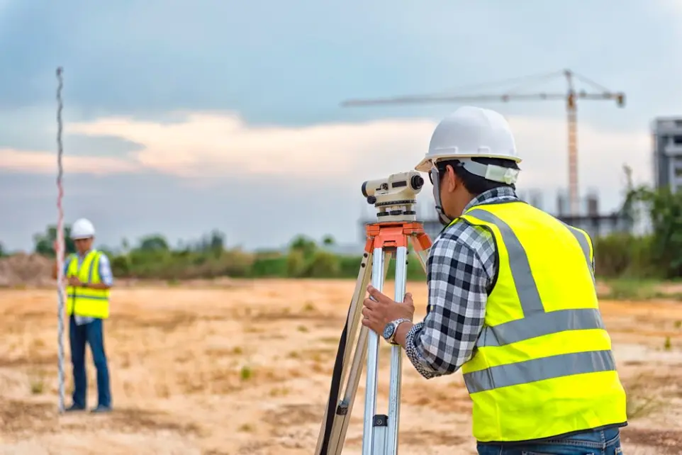
Cadastral Services
Cadastral services encompass a wide range of activities aimed at identifying and documenting the boundaries and areas of properties such as land, villas, and apartments. These services are essential in many fields such as construction, real estate development, agriculture, and urban planning.
Our Surveying Services & Solutions
Here are some examples of these services:

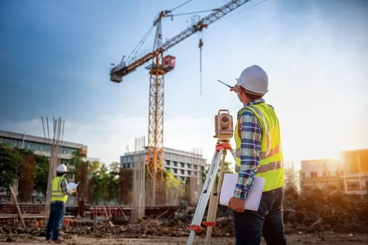
Topographic Survey
It is used to determine terrain, elevations, and distances on the ground, which helps in the design of construction and infrastructure projects.
Boundary determination
It involves determining the exact boundaries of real estate property, which helps in resolving legal disputes and clarifying property boundaries.
Real Estate Survey
Surveys and documents properties such as apartments and villas to determine their exact locations and areas, which is useful when selling, buying, or dividing.

Engineering Survey
Used in the design and construction stages to ensure that all dimensions and geometric shapes conform to engineering plans.

Detail Survey
Involves identifying and documenting all the fine details of the property, including utilities, services, and infrastructure.

Geographic Information System (GIS)
Used to store, analyze, and manage spatial data and maps, providing powerful tools for planning and decision-making.
Providing these services requires modern equipment and technologies such as high-precision GPS devices, drones, and advanced computer programs for data analysis and mapping.